Hiking Paths on the Gaisberg
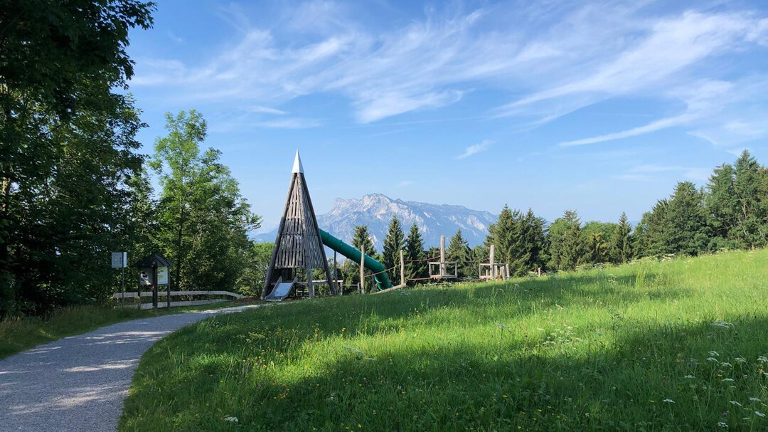
Горная вершина Зальцбурга (1287 м) является раем для походов всей семьи. Множество маршрутов предлагают лучшие виды на Зальцбург и окружающие горные пейзажи. Особенно популярны Зистельраунд и круговой маршрут по Гайсбергу, которые идеально подходят для выезда на природу.
Пешеходные маршруты на Гайсберге занимают от 15 минут до трех часов и отлично обозначены. Добраться до круговых маршрутов можно на автобусе № 151 из центра города, пешеходные маршруты начинаются от автобусных остановок общественного транспорта (обычно линии 6 и 7). Все автобусы включены в карту Сальцбурга.
Все описания маршрутов можно найти подробно на плане Гайсберга.
- Маршрут 13a – Круговой маршрут Гайсберга - легкий - 1-1½ ч. - около 5,9 км - Начальная точка: Цистельальм, линия 151
- Маршрут 13b – Цистельный маршрут - легкий - 30 мин. - около 2,6 км - Начальная точка: Цистельальм, линия 151 - доступно для колясок
- Маршрут 13c – Круговой маршрут на вершину Гайсберга - легкий - 15 мин. - около 1 км - Начальная точка: Вершина Гайсберга, линия 151
- Маршрут 12 – легкий - 2¾ ч. - около 6 км - Начальная точка: Автобусная остановка Bildungscampus Gnigl, линия 151 или Obergnigl, линии 2, 23
- Маршрут 13 – средний - 2½ ч. - около 6 км - Начальная точка: Автобусная остановка Ludwig-Schmederer-Platz, линия 6
- Маршрут 14 – Путь AK - легкий, но каменистый - 2½ ч. - около 8 км - Начальная точка: Автобусная остановка Ludwig-Schmederer-Platz, линия 6
- Маршрут 15 – Путь доктора Херберта Уолтерскирхена - легкий - 2¾ ч. - около 11 км - Начальная точка: Автобусная остановка Aigen S-Bahn, линия 7
- Маршрут 16 – легкий - 3 ч. - около 11 км - Начальная точка: Автобусная остановка Josef-Kaut-Straße или Valkenauerstraße, линия 7
- Маршрут 17 – средний - длинный, часть от Цистельальма крутая и скользкая - 3 ч. - около 11 км - Начальная точка: Автобусная остановка Josef-Kaut-Straße (17a) или Valkenauerstraße (17), линия 7
- Романтический отель Die Gersberg Alm
- Отель-ресторан Zistelalm
- Kasnocknwirt (бывший гостиница Mitteregg)
- Кохльмайр на вершине Гайсберга
- Хижина Рауценбюхель
- Goasn-Alm


