Hiking Paths on the Gaisberg
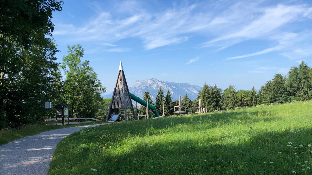
La montagna di casa di Salisburgo (1.287 m) è un paradiso per escursioni per tutta la famiglia. Numerosi percorsi offrono le migliori vedute su Salisburgo e sulle montagne circostanti. In particolare, il popolare percorso Zistelrunde e il sentiero circolare del Gaisberg sono adatti per una gita nella natura.
I sentieri escursionistici sul Gaisberg durano tra 15 minuti e tre ore e sono ben segnati. L'accesso ai sentieri ad anello avviene con il bus n. 151 dal centro città, i sentieri partono dalle fermate del trasporto pubblico (per lo più linea 6 e 7). Tutti i bus sono inclusi nella Salzburg Card.
Tutte le descrizioni delle rotte possono essere trovate in dettaglio sul piano del Gaisberg.
- Rotta 13a – Sentiero ad anello del Gaisberg - facile - 1-1½ ore - ca. 5,9 km - Punto di partenza: Zistelalm, linea 151
- Rotta 13b – Giro di Zistel - facile - 30 min. - ca. 2,6 km - Punto di partenza: Zistelalm, linea 151 - adatto ai passeggini
- Rotta 13c – Sentiero di vetta del Gaisberg - facile - 15 min. - ca. 1 km - Punto di partenza: Gaisbergspitze, linea 151
- Rotta 12 – facile - 2¾ ore - ca. 6 km - Punto di partenza: Fermata dell'autobus Bildungscampus Gnigl, linea 151 o Obergnigl, linee 2, 23
- Rotta 13 – media - 2½ ore - ca. 6 km - Punto di partenza: Fermata dell'autobus Ludwig-Schmederer-Platz, linea 6
- Rotta 14 – Sentiero AK - facile, ma roccioso - 2½ ore - ca. 8 km - Punto di partenza: Fermata dell'autobus Ludwig-Schmederer-Platz, linea 6
- Rotta 15 – Sentiero Dr. Herbert Walterskirchen - facile - 2¾ ore - ca. 11 km - Punto di partenza: Fermata dell'autobus Aigen S-Bahn, linea 7
- Rotta 16 – facile - 3 ore - ca. 11 km - Punto di partenza: Fermata dell'autobus Josef-Kaut-Straße o Valkenauerstraße, linea 7
- Rotta 17 – media - lunga, da Zistelalm parzialmente ripida e scivolosa - 3 ore - ca. 11 km - Punto di partenza: Fermata dell'autobus Josef-Kaut-Straße (17a) o Valkenauerstraße (17), linea 7
- Romantikhotel Die Gersberg Alm
- Hotel Ristorante Zistelalm
- Kasnocknwirt (ex Gasthof Mitteregg)
- Kohlmayr's Gaisbergspitz
- Rauchenbühelhütte
- Goasn-Alm


